
Local time Saturday 11:21 PM | County Bieszczady Population 0 | |
 | ||
Weather 4°C, Wind NW at 14 km/h, 71% Humidity | ||
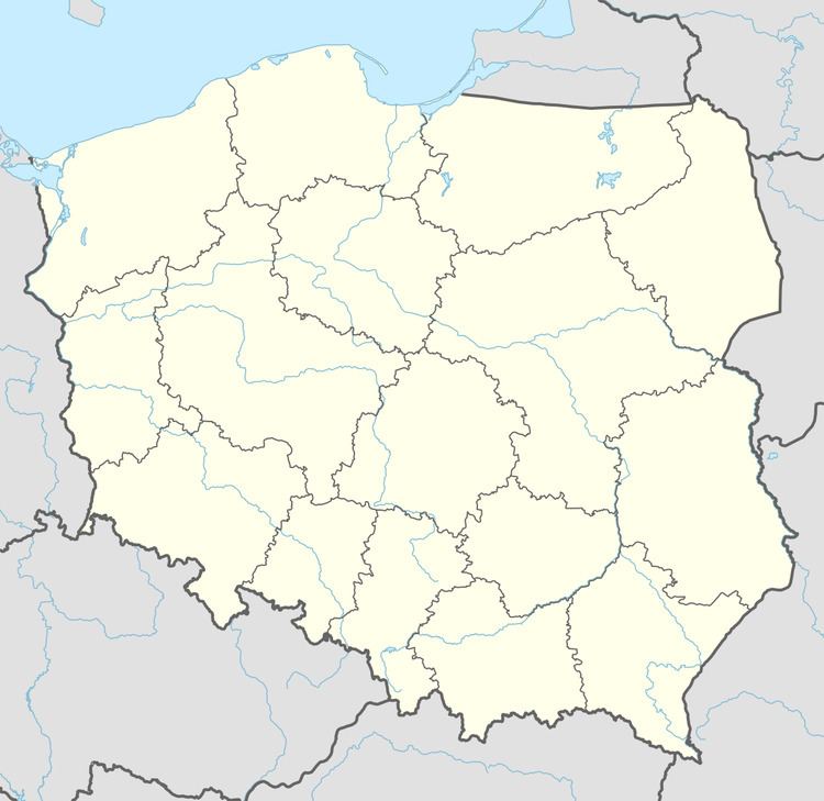
Sokołowa Wola [sɔkɔˈwɔva ˈvɔla] (Ukrainian: Соколова Воля, Sokolova Volia) is a former village in the administrative district of Gmina Czarna, within Bieszczady County, Subcarpathian Voivodeship, in south-eastern Poland, close to the border with Ukraine. It lies approximately 6 kilometres (4 mi) north-west of Czarna, 10 km (6 mi) south of Ustrzyki Dolne, and 88 km (55 mi) south-east of the regional capital Rzeszów.
Map of Soko%C5%82owa Wola, Poland
References
Sokołowa Wola Wikipedia(Text) CC BY-SA