
Postcode(s) 2790 Postal code 2790 | Elevation 925 m | |
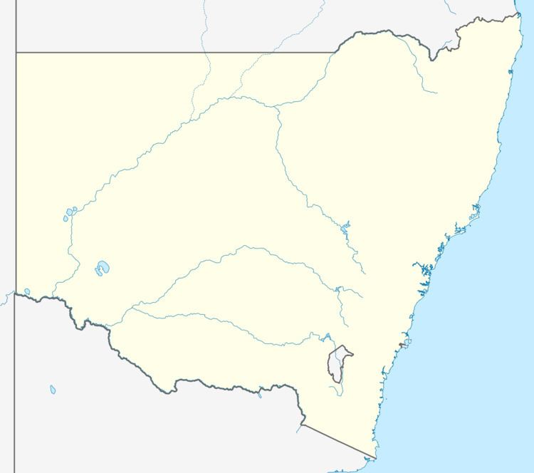 | ||
Location 150 km (93 mi) W of Sydney45 km (28 mi) E of Bathurst16 km (10 mi) W of Lithgow | ||
Sodwalls is a small hamlet in New South Wales, Australia
Map of Sodwalls NSW 2790, Australia
Sodwalls is located about 150 kilometres (93 mi) west of the state capital, Sydney and 16 kilometres (10 mi) south-west from the town of Lithgow. Sodwalls used to have a station on the Main Western Railway. This line is used by the Dubbo XPT service with stops at Rydal to the east, and Tarana to the west.
References
Sodwalls, New South Wales Wikipedia(Text) CC BY-SA