
Surface elevation 1,251 m | Last eruption A.D. 512 | |
 | ||
Type Maars, volcanic explosion craters | ||
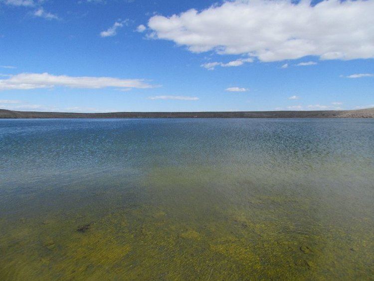
The Soda Lakes are two lakes located northwest of Fallon, Nevada. They occupy two basaltic maar volcanoes which may have erupted in the last 1500 years from 2012. The larger lake (called Soda Lake) is somewhat elongated, stretching 2 kilometers (1.2 mi) in length, while the smaller one (Little Soda Lake) is 200 meters (660 ft) across. According to an early study of Soda Lakes, Russell (1885) describes the Soda Lake basin as follows:
Map of Soda Lake, Nevada 89406, USA
The rim of the larger lake in its highest part rises 80 feet above the surrounding desert, and is 165 feet higher than the surface of the lake which it incloses. The outer slope of the cone is gentle and merges almost imperceptibly with the desert surface; but the inner slope is abrupt and at times approaches the perpendicular. A series of careful soundings gives 147 feet as the greatest depth of the lake. The total depth of the depression is therefore 312 feet, and its bottom is 232 feet lower than the general surface of the desert near at hand.References
Soda Lakes Wikipedia(Text) CC BY-SA