
Elevation 1,000 m (3,000 ft) Population 85,491 (2010) | Demonym(s) Sobradinhense Local time Saturday 3:45 AM | |
 | ||
Weather 20°C, Wind S at 3 km/h, 83% Humidity University Faculdade Serrana de Ensino Superior Points of interest Brasília National Park, Parque Ecológico dos Jequi, Parque Infantil ‑ Condomi | ||
Sobradinho is an administrative region in the Federal District, Brazil.
Contents
Map of Sobradinho, Brasilia - Federal District, Brazil
History
Sobradinho began with a ranch of that name belonging to the municipality of Formosa, Goiás. According to popular history the name came from the existence of an old cross built long before 1850 along the banks of a stream near the ranch. On one of the arms of the cross were two little nests of a bird called joão de barro (Rufous hornero - Furnarius rufus), one on top of the other, forming a little two-story house—a sobradinho in Portuguese. This phenomenon attracted the attention of passersby who took it as a reference point with the name Cross of Sobradinho or Sobradinho of the Cross. As time went by the local stream was called Sobradinho Stream.
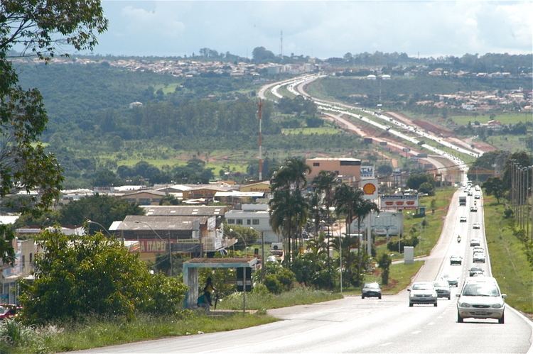
Because of the need to house the migrant families from the Northeast, Goiás, Bahia and other states, Sobradinho was created along the old highway that linked the city of Planaltina,Goiás and the Federal Capital being built (1959). Today that old highway is a four-lane motorway and residents of Sobradinho can be in Brasília in a few minutes time.