
Country Poland Gmina Gmina Włodawa Local time Saturday 8:23 AM | County Włodawa Elevation 163 m Voivodeship Lublin Voivodeship | |
 | ||
Weather 0°C, Wind S at 8 km/h, 90% Humidity | ||
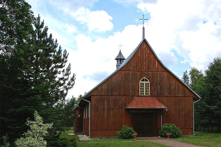
Sobibór [sɔˈbibur] is a village in the administrative district of Gmina Włodawa, within Włodawa County, Lublin Voivodeship, in eastern Poland. It lies close to the Bug River, which forms the border with Belarus and Ukraine.
Contents
Map of Sobib%C3%B3r, Poland
Overview
Sobibór is approximately 11 kilometres (7 mi) south-east of Włodawa and 80 km (50 mi) east of the regional capital Lublin. To the south and west is the protected area called Sobibór Landscape Park.
During World War II, the Nazi German Sobibor extermination camp was built outside the village. The number of Jews gassed and cremated there between April 1942 and October 14, 1943 is estimated at 250,000. At present, the site of Jewish martyrology is the location of the Sobibór Museum branch of the Majdanek State Museum, devoted to the memory of atrocities committed at the Sobibór death camp during the Holocaust in Poland.