
Time zone EAT (UTC3) Local time Saturday 8:36 AM | Area 6,578 km² Population 27,434 (2001) | |
 | ||
Weather 27°C, Wind E at 6 km/h, 82% Humidity | ||
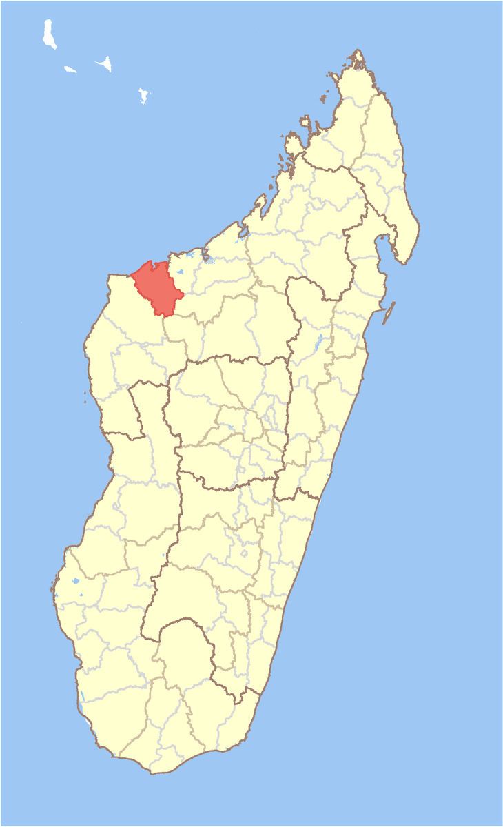
Soalala is a district in western Madagascar. It is a part of Boeny Region and borders the districts of Mitsinjo in northeast, Ambato-Boeni in east, Kandreho in south and Besalampy in west. The area is 6,578 km2 (2,540 sq mi) and the population was estimated to be 27,434 in 2001.
Map of Soalala, Madagascar
The district is further divided into three communes:
The Namoroka National Park is situated in the Soalala District.
References
Soalala District Wikipedia(Text) CC BY-SA