
Country United States Elevation 347 m Local time Friday 3:01 PM | GNIS feature ID 0476557 Area 169 km² Population 4,974 (2000) | |
 | ||
Weather 20°C, Wind E at 24 km/h, 59% Humidity Points of interest U.S. Cavalry Museum, First Territorial Capitol, Ogden Monument | ||
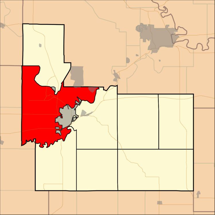
Smoky Hill Township is a township in Geary County, Kansas, USA. As of the 2000 census, its population was 4,974.
Contents
Map of Smoky Hill, KS, USA
History
Smoky Hill Township was organized in 1872.
Geography
Smoky Hill Township covers an area of 65.25 square miles (169.0 km2) and contains one incorporated settlement, Fort Riley-Camp Whiteside. According to the USGS, it contains three cemeteries: Alda, Alida and Saint Johns.
The streams of Curtis Creek, Fourmile Creek, Onemile Creek, Republican River, School Creek and Smoky Hill River run through this township.
Transportation
Smoky Hill Township contains one airport or landing strip, Ritter Airport (historical).
References
Smoky Hill Township, Geary County, Kansas Wikipedia(Text) CC BY-SA