
Location Bay of Bengal Total islands 1 Length 8.6 km (5.34 mi) Area 20.45 km² Literacy 71.8% Area code 031927 Adjacent body of water Indian Ocean | Adjacent bodies of water Indian Ocean Major islands Smith Width 4.8 km (2.98 mi) Elevation 131 m Postal code 744202 Archipelago Andaman Islands | |
 | ||
Smith Island is an island of the Andaman Islands. It belongs to the North and Middle Andaman administrative district, part of the Indian union territory of Andaman and Nicobar Islands. the island is lying 185 km (115 mi) north from Port Blair.
Contents
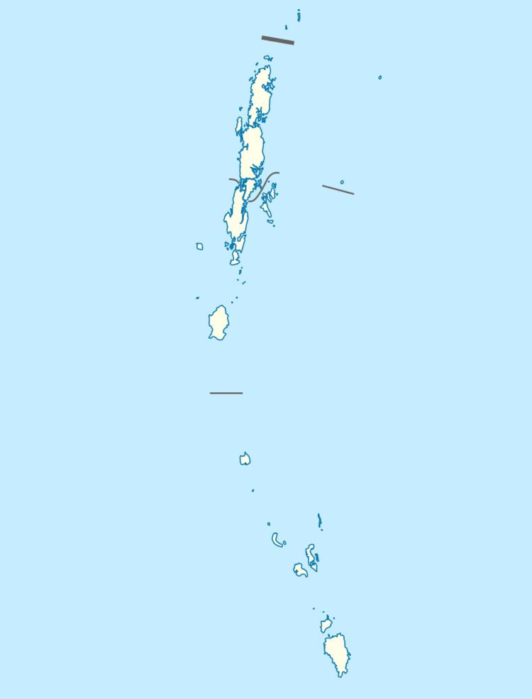
Map of Andaman and Nicobar Islands
Geography
The island is located in Aerial Bay, near Diglipur.
Administration
Politically, Smith Island, along neighboring Aerial Bay Islands, is part of Diglipur Taluk.
Transportation
Ferry service is available from Aerial bay jetty or Kalipur water sports center. Normally ship is available once a week.
Demographics
There are 3 villages on the island. According to the 2011 census of India, the Island has 160 households. The main village has 60 households, with Eco rest houses which are available for overnight stay. The effective literacy rate (i.e. the literacy rate of population excluding children aged 6 and below) is 100%.
Fauna
Smith Island beach is notified for turtle nesting during seasons