
 | ||
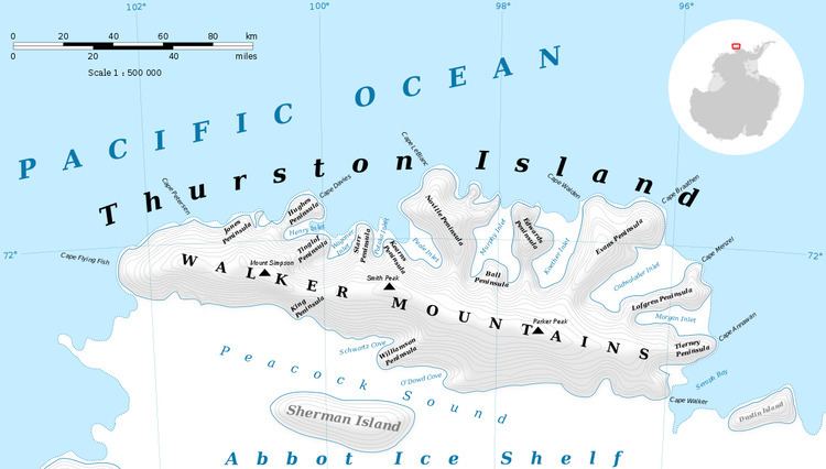
Smith Cliff (71°59′S 100°8′W) is a rock cliff midway along the ice-covered northern shore of Tinglof Peninsula, Thurston Island. Named by Advisory Committee on Antarctic Names (US-ACAN) after Aviation Radioman William F. Smith, aircrewman in the Eastern Group of U.S. Navy Operation Highjump, which obtained aerial photographs of this cliff and coastal areas adjacent to Thurston Island, 1946-47.
Maps
This article incorporates public domain material from the United States Geological Survey document "Smith Cliff" (content from the Geographic Names Information System).
References
Smith Cliff Wikipedia(Text) CC BY-SA