
OS grid reference TQ214129 Post town HENFIELD Local time Friday 11:48 AM Dialling code 01273 | Sovereign state United Kingdom Postcode district BN5 UK parliament constituency Arundel and South Downs | |
 | ||
Weather 11°C, Wind NE at 24 km/h, 77% Humidity | ||
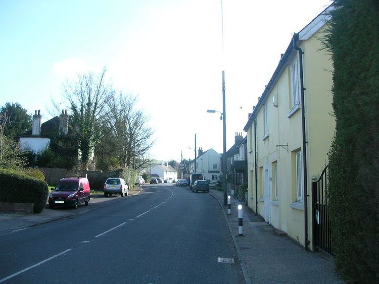
Small Dole is a village in the Horsham District of West Sussex, in England. It lies on the A2037 road two miles (3.2 km) south of Henfield.
Map of Small Dole, Henfield, UK
In the late 1970s the Church of England altered its ecclesiastical parish boundaries, transferring Small Dole from the parish of Upper Beeding (where the population at the 2011 Census is included) to the parish of Henfield. The civil parish boundary continues to use the older ecclesiastical boundary. Thus Small Dole is part of the civil parish of Upper Beeding and the ecclesiastical parish of Henfield, adding to the local feeling of being torn between the two larger communities.
References
Small Dole Wikipedia(Text) CC BY-SA