
District Uherské Hradiště Elevation 302 m Local time Friday 2:55 AM | Postal code 687 64 Area 13.74 km² | |
 | ||
Weather 6°C, Wind NE at 8 km/h, 93% Humidity | ||
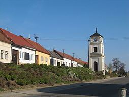
Slavkov is a village and municipality (obec) in Uherské Hradiště District in the Zlín Region of the Czech Republic.
Map of 687 64 Slavkov, Czechia
The municipality covers an area of 13.74 square kilometres (5.31 sq mi), and has a population of 697 (as at 3 July 2006).
Slavkov lies approximately 18 kilometres (11 mi) south-east of Uherské Hradiště, 33 km (21 mi) south of Zlín, and 264 km (164 mi) south-east of Prague.
References
Slavkov (Uherské Hradiště District) Wikipedia(Text) CC BY-SA