
District Třebíč Elevation 384 m Local time Friday 3:12 AM | Postal code 675 55 Area 9.49 km² | |
 | ||
Weather 6°C, Wind N at 11 km/h, 93% Humidity | ||
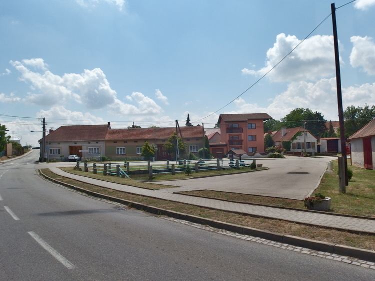
Slavětice is a village and municipality (obec) in Třebíč District in the Vysočina Region of the Czech Republic.
Map of 675 55 Slav%C4%9Btice, Czechia
The municipality covers an area of 9.49 square kilometres (3.66 sq mi), and has a population of 249 (as at 3 July 2006).
Slavětice lies approximately 22 kilometres (14 mi) south-east of Třebíč, 50 km (31 mi) south-east of Jihlava, and 164 km (102 mi) south-east of Prague.
References
Slavětice Wikipedia(Text) CC BY-SA