
Country United States Area code(s) 304 & 681 Elevation 818 m | Time zone Eastern (EST) (UTC-5) GNIS feature ID 1552924 Local time Thursday 8:34 PM | |
 | ||
Weather 4°C, Wind SE at 13 km/h, 33% Humidity | ||
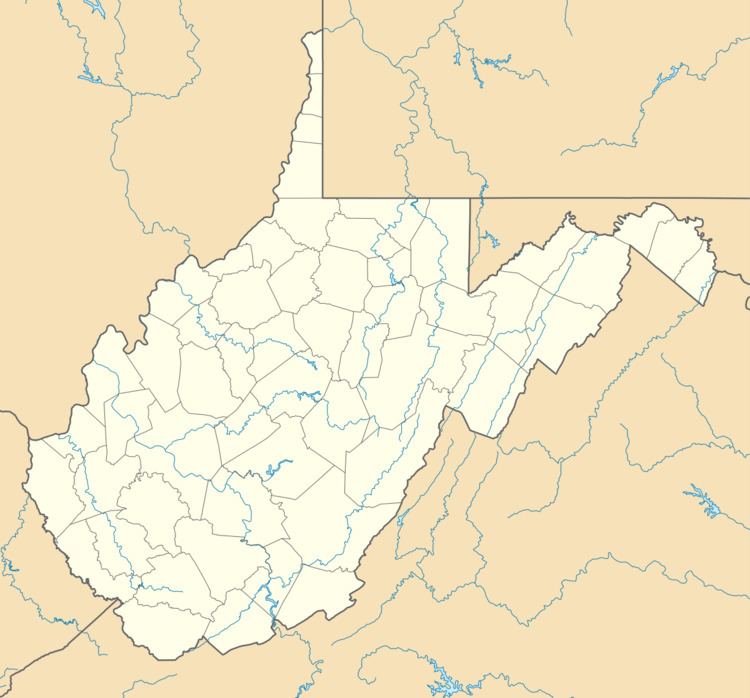
Slaty Fork is an unincorporated community in Pocahontas County, West Virginia, United States. Slaty Fork is located along U.S. Route 219 13.5 miles (21.7 km) north of Marlinton.
Map of Slaty Fork, WV 26291, USA
A variant name was Laurel Bank.
A large cave known as Sharps Cave is located in Slaty Fork.
References
Slaty Fork, West Virginia Wikipedia(Text) CC BY-SA