
Elevation 500 m Local time Friday 12:47 AM | Postal code 391 11 to 391 76 Area 6.32 km² Population 464 (2006) | |
 | ||
Weather 4°C, Wind N at 10 km/h, 97% Humidity | ||
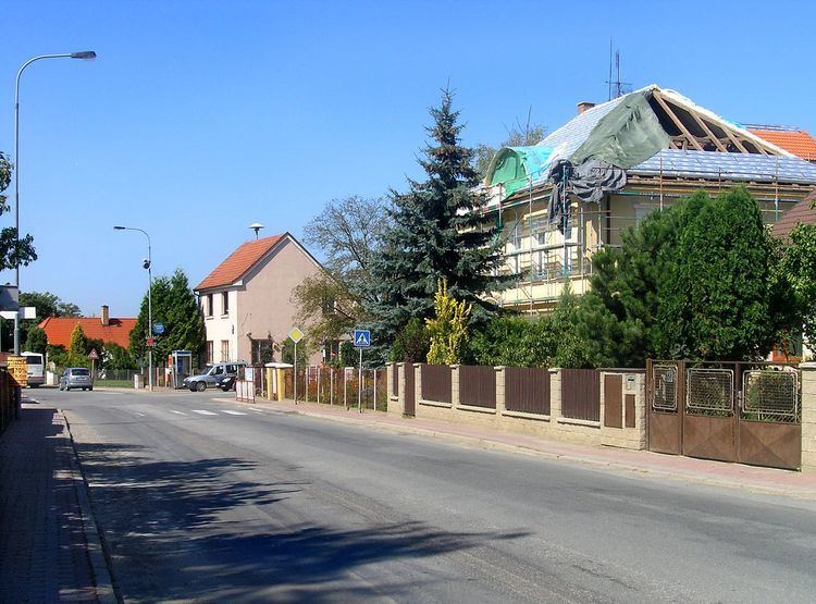
Slapy is a village and municipality (obec) in Tábor District in the South Bohemian Region of the Czech Republic.
Map of Slapy, Czechia
The municipality covers an area of 6.32 square kilometres (2.44 sq mi), and has a population of 464 (as at 28 August 2006).
Slapy lies approximately 5 kilometres (3 mi) south-west of Tábor, 47 km (29 mi) north of České Budějovice, and 79 km (49 mi) south of Prague.
References
Slapy (Tábor District) Wikipedia(Text) CC BY-SA