
Population 711 (2011) Unitary authority Local time Thursday 11:06 PM | OS grid reference NY977577 Sovereign state United Kingdom Dialling code 01434 | |
 | ||
Weather 3°C, Wind E at 10 km/h, 90% Humidity | ||
A walk around slaley northumberland uk 21st february 2013
Slaley is a village in Northumberland, England. It is situated to the southeast of Hexham.
Contents
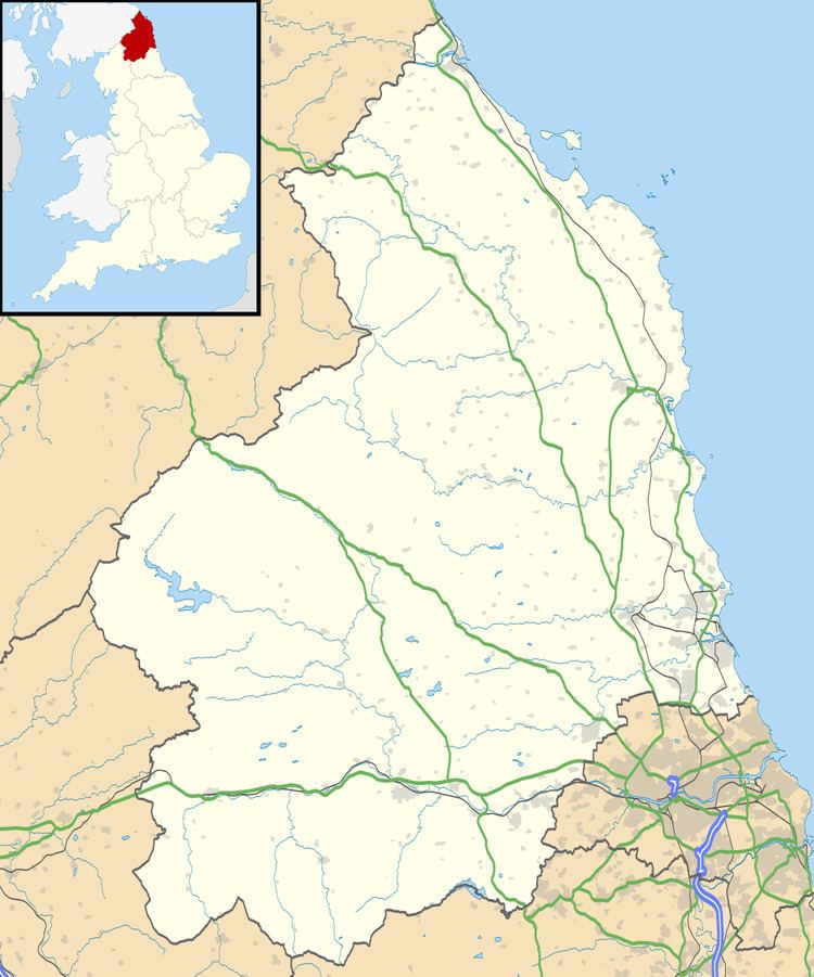
Map of Slaley, Hexham, UK
To the north of the village there is a disused nuclear bunker. The bunker was opened in 1961 and closed 1991.
References
Slaley, Northumberland Wikipedia(Text) CC BY-SA