
Length 5.7 km (3.54 mi) Highest elevation 393 m (1,289 ft) County Sogn og Fjordane Area 9 km² | Width 2.8 km (1.74 mi) Highest point Blåkollen Elevation 393 m Municipality Flora | |
 | ||
Location Sogn og Fjordane, Norway | ||
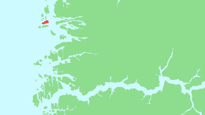
Skorpa is an island in the municipality in Flora in Sogn og Fjordane county, Norway. The 9-square-kilometre (3.5 sq mi) island lies about 6 kilometres (3.7 mi) west of the town of Florø in a large group of inhabited islands. Skorpa lies about 1.5 kilometres (0.93 mi) north of the islands of Reksta and Kinn and about 1.5 kilometres (0.93 mi) south of the island of Fanøya.
Map of Skorpa, 6918 S%C3%B8r-skorpa, Norway
The island is rocky, mountainous, and barren. Almost all the settlement is located on the southwestern shore. The population (2001) was about 60 residents.
References
Skorpa, Sogn og Fjordane Wikipedia(Text) CC BY-SA