
Elevation 498 m Population 157 (2006) | Postal code 391 18 Area 7.1 km² | |
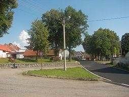 | ||
Skopytce is a village and municipality (obec) in Tábor District in the South Bohemian Region of the Czech Republic.
Map of 392 01 Skopytce, Czechia
The municipality covers an area of 7.1 square kilometres (2.7 sq mi), and has a population of 157 (as at 28 August 2006).
Skopytce lies approximately 14 kilometres (9 mi) south-east of Tábor, 47 km (29 mi) north-east of České Budějovice, and 88 km (55 mi) south of Prague.
References
Skopytce Wikipedia(Text) CC BY-SA