Length 178 km | ||
 | ||
Kayak descent of skj lfandaflj t iceland 1989
The Skjálfandafljót River is situated in the north of Iceland. Skjálfandafljót is 178 km long, and is the fourth longest river of Iceland.
It has its source at the northwestern border of the icecap Vatnajökull on the Highlands of Iceland. From there it streams parallel to the Sprengisandur Highland road in a northern direction, flowing finally into Skjálfandi bay.
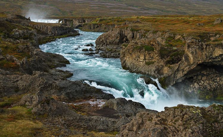
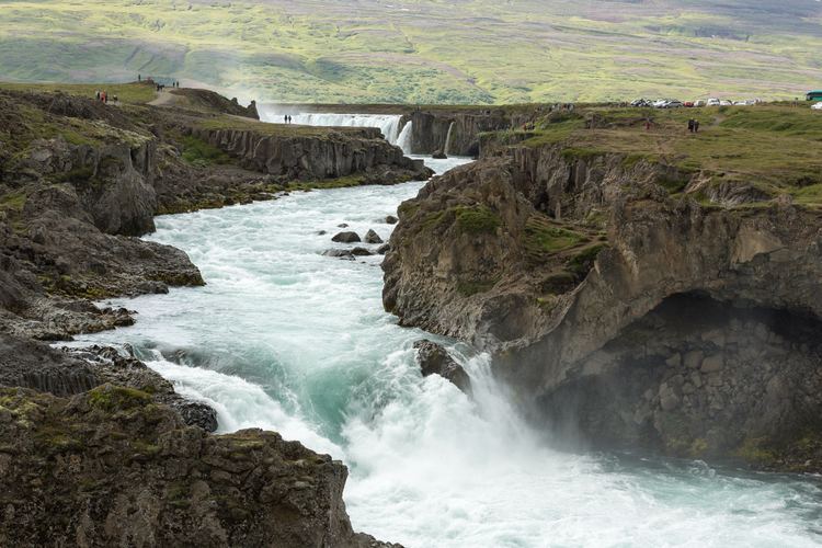
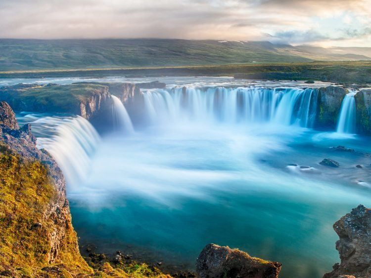
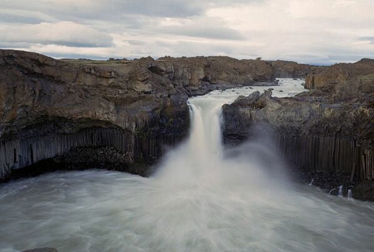
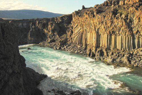
By following the river from its source at the Vatnajökull glacier all the way to the river mouth at Skjálfandi bay it's possible to see many waterfalls. Skjálfandafljót possesses some of the most beautiful waterfalls in the country, including Goðafoss which is considered one of the most beautiful waterfalls in Europe. Other well-known waterfalls in Skjálfandafljót include Hrafnabjargafoss, Aldeyjarfoss, Barnafoss and Ullarfoss. 1
It was first descended by kayak by a team from the University of Sheffield (UK) in 1989.
At the north end of the Sprengisandur road, the river drops down 10m over Aldeyjarfoss. Goðafoss is in the lowlands, very near Route 1.