
 | ||
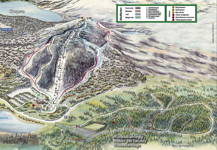
Sjusjøen is a Norwegian skiing destination with forest and mountain terrain, (750–1000 meters above sea level) about 20 km east of the centre of Lillehammer, at 61°9′18″N 10°41′54″E. The area is located in the municipality of Ringsaker, Hedmark. The mountain plateau South of Sjusjøen is Hedmarksvidda.
Map of 2612 Sjusj%C3%B8en, Norway
Nordseter and Sjusjøen were originally mountain farm communities, which - with their easily accessible forest and mountain terrain - have developed into skiing destinations. The area offers a wide range of skiing alternatives, including approx. 350 km. of prepared cross-country trails. This is the biggest cross country skiing terrain in the world. The tracks run all the way to Lillehammer and Øyer, and connect with the Olympic tracks at the Birkebeineren Ski Stadium. The trails go through forested and mountain terrain, and are clearly signposted.