
County Hamilton FIPS code 39-72620 Elevation 245 m Local time Thursday 4:02 AM | State Ohio Time zone Eastern (EST) (UTC-5) GNIS feature ID 1065332 Area 2.9 km² Population 2,928 (2010) | |
 | ||
Weather -2°C, Wind NE at 10 km/h, 69% Humidity | ||
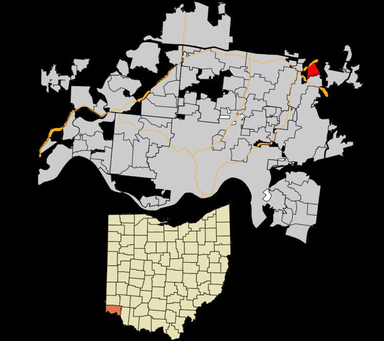
Sixteen Mile Stand is a census-designated place (CDP) in Symmes Township, Hamilton County, Ohio, United States, 19 miles (31 km) northeast of downtown Cincinnati. The population of Sixteen Mile Stand was 2,928 at the 2010 census.
Contents
Map of Sixteen Mile Stand, OH 45249, USA
Sixteen Mile Stand takes its name from the distance to Cincinnati via the Montgomery Pike.
Geography
Sixteen Mile Stand is located at 39°16′22″N 84°19′38″W, along U.S. Route 22 (Montgomery Road). The city of Montgomery is directly to the south.
According to the United States Census Bureau, the CDP has a total area of 1.1 square miles (2.9 km2), all land.
References
Sixteen Mile Stand, Ohio Wikipedia(Text) CC BY-SA