
Length 146 km Source Cordillera de Talamanca | Mouth elevation 0 | |
 | ||
- location Caribbean Sea, Costa Rica & Panama | ||
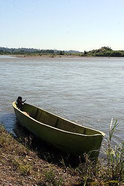
The Sixaola River (Spanish: Río Sixaola) is a river in southern Limón Province, Costa Rica. It flows from the Cordillera Talamanca to the Caribbean Sea northeast of Sixaola at 9°34′20″N 82°33′54″W. The river's headwaters are part of the La Amistad International Park. For part of its length, the river forms the border between Limón Province, Costa Rica and Bocas del Toro Province, Panama. An old railroad bridge spans the river between Guabito, Panama, and Sixaola, Costa Rica. This bridge is a border crossing between Costa Rica and Panama. Tourists use the border crossing when travelling between Costa Rica and Bocas del Toro.
Map of R%C3%ADo Sixaola
References
Sixaola River Wikipedia(Text) CC BY-SA