Elevation 125 m (410 ft) Dialing code 071 Postal code 60020 | Time zone CET (UTC+1) Local time Thursday 1:55 AM | |
 | ||
Frazioni Coppo, Fonte d'Olio, Madonnina, San Lorenzo Weather 12°C, Wind S at 8 km/h, 77% Humidity | ||
Sirolo is a comune (municipality) in the Province of Ancona in the Italian region of Marche. As of 28 February 2009 it had a population of 3,747 inhabitants and an area of 16.68 square kilometres (6.44 sq mi).
Map of 60020 Sirolo Province of Ancona, Italy
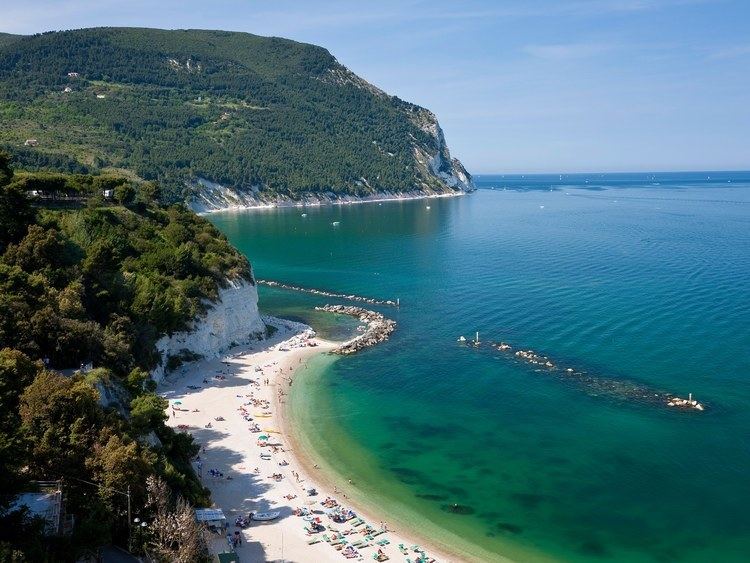
The town is situated near Monte Conero and in medieval times it was a castle which belonged to the Conti Cortesi family. It is a tourist destination, especially in summer times and it has been awarded one of the eleven blue flags in the region of Marche. It features a restored medieval town centre, which culminates with a particular little square with view on the sea and on the Monte Conero. It also regularly hosts Miss Italia which provides much entertainment. Being a relatively popular tourist destination, it has many restaurants and bars. From the main piazza there is a 10-minute walk to the beautiful beach.
