
Local time Wednesday 3:41 PM | Elevation 1,440 ft (439 m) | |
 | ||
Weather 41°C, Wind W at 11 km/h, 8% Humidity | ||
Singa (Arabic: سنجة) is a town located in the Sennar State of Sudan at an elevation of 439 meters (1,440 feet) above sea level. The town is situated on the west bank of the Blue Nile at a distance of 360 kilometers (220 miles) to the southeast of the capital, Khartoum, and 60 kilometers from Sennar city. Its population was recorded to be 259,000 in 2002.
Contents
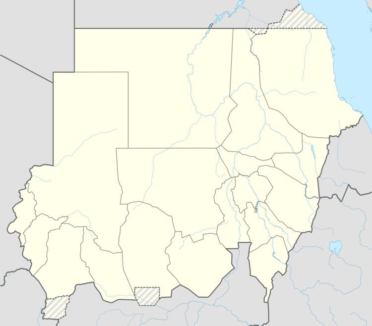
Map of Singa, Sudan
Singa, also spelled Sinjah, is the capital of Sennar State and is characterized by the diversity of its natural environment, habitat, water resources, and livestock. A large veterinary research station has been founded in the city. Its economic activities vary from Agriculture to pastoralism. Important crops are sorghum, gum Arabic, and fruits such as guava, banana and mango.
Archaeological discovery
Singa is notable for the archaeological discovery of an old human fossil, the 'Singa Skull' which was discovered in Singa in 1924 by the British governor of Blue Nile Province. The skull is about 160,000 years old and belongs to the Stone Age, Pleistocene Age. It coincided with the Neanderthals and the Peking man. Currently the skull is displayed at the British Museum in London.
Connections
Singa is served by several bank branches, a hospital, and a hotel. There is no airport in the town; the nearest airport is Kosti airport, at a distance of 129 kilometers (80 miles). A network of track roads and railways connects the city with its major neighboring towns and cities.