
Website maharashtra.gov.in Population 13,052 (2001) ISO 3166 code ISO 3166-2:IN | Time zone IST (UTC+5:30) Elevation 243 m Local time Wednesday 4:48 PM | |
 | ||
Weather 38°C, Wind N at 5 km/h, 14% Humidity | ||
Sindi is a city and a municipal council in Wardha district in the Indian state of Maharashtra.
Contents
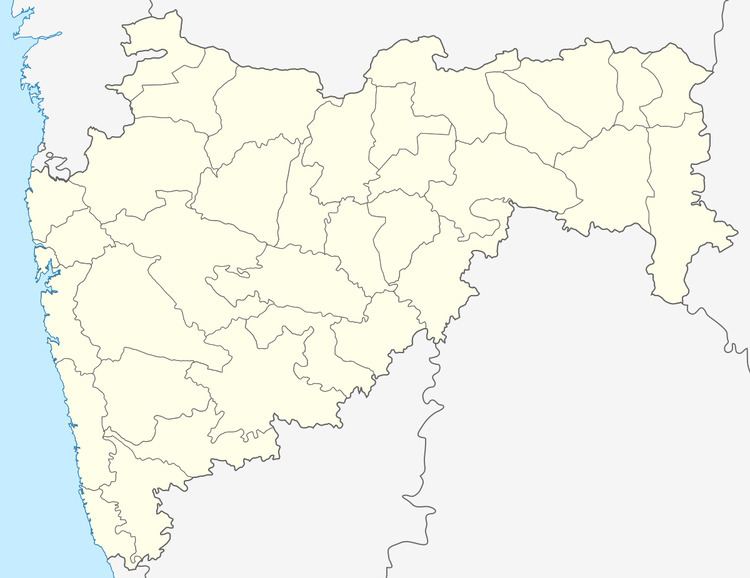
Map of Sindi, Maharashtra 442105
Geography
Sindi is located at 20.8°N 78.87°E / 20.8; 78.87. It has an average elevation of 243 metres (797 feet).
There is a railway Station on Wardha - Nagpur line of Central Railways.
Demographics
As of 2001 India census, Sindi had a population of 13,052. Males constitute 52% of the population and females 48%. Sindi has an average literacy rate of 73%, higher than the national average of 59.5%: male literacy is 79%, and female literacy is 67%. In Sindi, 12% of the population is under 6 years of age.
References
Sindi, Maharashtra Wikipedia(Text) CC BY-SA