
Country Philippines Time zone PST (UTC+8) Area 167.2 km² Province Tawi-Tawi | Barangays ZIP code 7505 Local time Wednesday 4:32 PM | |
 | ||
Region Autonomous Region in Muslim Mindanao (ARMM) District Lone district of Tawi-Tawi Weather 28°C, Wind E at 14 km/h, 79% Humidity Neighborhoods Brgy. Tampakan, Luuk Datan, Brgy. Mongkay, Brgy. Sokah Bulan, Pagasinan, Brgy. Maruwa | ||
Simunul is a fourth class municipality in the province of Tawi-Tawi, Philippines. According to the 2015 census, it has a population of 31,223 people. The municipality consists of 2 islands: the larger eponymous Simunul Island and Manuk Mangkaw (Manuk Manka) Island, 3.5 kilometres (2.2 mi) to the south.
Contents
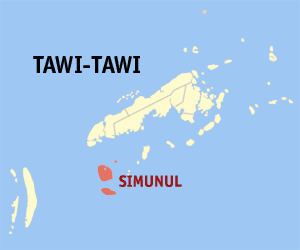
Map of Simunul, Tawi-Tawi, Philippines
The language spoken is Sama, also known as Sinama. The first Muslims in the Philippines are said to have arrived at Simunur. The first mosque in the Philippines was built here by Sheik Karimul Makhdum. This mosque is called the Sheik Karimal Makdum Mosque. Inside this mosque stands 4 hags where it is repainted every year.
There are six beaches in Simunur. The majority of the people are Muslims.
The militants involved in the 2013 Lahad Datu standoff came from Simunul.
Barangays
Simunur is politically subdivided into 15 barangays.
The barangays of Timundon, Manuk Mangkaw, and Luuk Datan are located on Manuk Mangkaw Island; the remaining 12 barangays are located on Simunul Island.