
 | ||
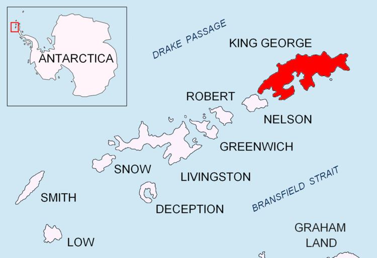
Simpson Rocks (61°58′S 57°23′W) is a group consisting of a rock, 10 m high, surrounded by sunken rocks, lying 5 nautical miles (9 km) northeast of Cape Melville, King George Island, in the South Shetland Islands. The name "Simpsons Islands" appears on a chart of 1825 by British sealer James Weddell, but the term "rocks" is considered more descriptive than "islands".
This article incorporates public domain material from the United States Geological Survey document "Simpson Rocks" (content from the Geographic Names Information System).
References
Simpson Rocks Wikipedia(Text) CC BY-SA