
Country United States FIPS code 20-65650 Area 65 ha Zip code 67478 Local time Wednesday 2:51 AM | Time zone Central (CST) (UTC-6) GNIS feature ID 0475977 Elevation 406 m Population 86 (2013) Area code 785 | |
 | ||
Weather 4°C, Wind NE at 18 km/h, 58% Humidity | ||
Simpson is a city in Cloud and Mitchell counties in Kansas, United States. As of the 2010 census, the city population was 86.
Contents
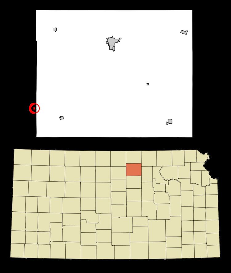
Map of Simpson, KS, USA
History
Simpson was originally called Brittsville, and under the latter name was laid out in 1879 by J. J. Britt. The town was renamed Simpson in 1882 in honor of Alfred Simpson, an original landowner.
The first post office at Brittsville, established in June 1874, was renamed Simpson in April 1882.
Geography
Simpson is located at 39°23′04″N 97°55′56″W (39.384460, -97.932291). According to the United States Census Bureau, the city has a total area of 0.25 square miles (0.65 km2), all of it land.
2010 census
As of the census of 2010, there were 86 people, 36 households, and 26 families residing in the city. The population density was 344.0 inhabitants per square mile (132.8/km2). There were 61 housing units at an average density of 244.0 per square mile (94.2/km2). The racial makeup of the city was 98.8% White and 1.2% from two or more races.
There were 36 households of which 27.8% had children under the age of 18 living with them, 63.9% were married couples living together, 2.8% had a female householder with no husband present, 5.6% had a male householder with no wife present, and 27.8% were non-families. 22.2% of all households were made up of individuals and 13.9% had someone living alone who was 65 years of age or older. The average household size was 2.39 and the average family size was 2.69.
The median age in the city was 45.5 years. 20.9% of residents were under the age of 18; 5.9% were between the ages of 18 and 24; 23.3% were from 25 to 44; 36.1% were from 45 to 64; and 14% were 65 years of age or older. The gender makeup of the city was 52.3% male and 47.7% female.
2000 census
As of the census of 2000, there were 114 people, 46 households, and 33 families residing in the city. The population density was 475.3 people per square mile (183.4/km2). There were 58 housing units at an average density of 241.8 per square mile (93.3/km2). The racial makeup of the city was 100.00% White.
There were 46 households out of which 34.8% had children under the age of 18 living with them, 65.2% were married couples living together, 4.3% had a female householder with no husband present, and 26.1% were non-families. 23.9% of all households were made up of individuals and 10.9% had someone living alone who was 65 years of age or older. The average household size was 2.48 and the average family size was 2.94.
In the city, the population was spread out with 27.2% under the age of 18, 7.0% from 18 to 24, 28.1% from 25 to 44, 15.8% from 45 to 64, and 21.9% who were 65 years of age or older. The median age was 38 years. For every 100 females there were 93.2 males. For every 100 females age 18 and over, there were 107.5 males.
The median income for a household in the city was $25,938, and the median income for a family was $29,375. Males had a median income of $26,607 versus $12,917 for females. The per capita income for the city was $12,868. There were 15.2% of families and 18.8% of the population living below the poverty line, including 50.0% of under eighteens and 10.5% of those over 64.
Education
Simpson is served by USD 273 Beloit.
Simpson schools were closed through school unification. The Simpson High School mascot was Simpson Coyotes.