 | ||
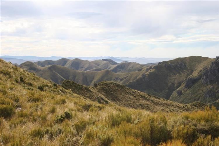
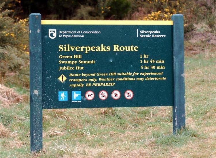
The Silverpeaks (sometimes spelt Silver Peaks) is an area of rough forest and tussock and scrub covered hill country inland and to the northwest of Dunedin, New Zealand. The area is largely uninhabited; the main indication of human activity is the Taieri Gorge Railway, which preserves the route of the former Otago Central Railway that runs along the steep-sided valley of the Taieri River. Much of the area lies within the Silverpeaks Scenic Reserve.
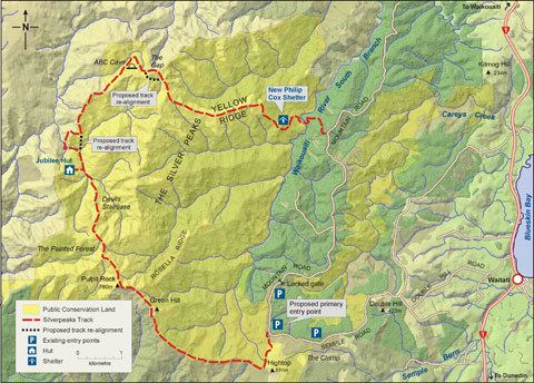
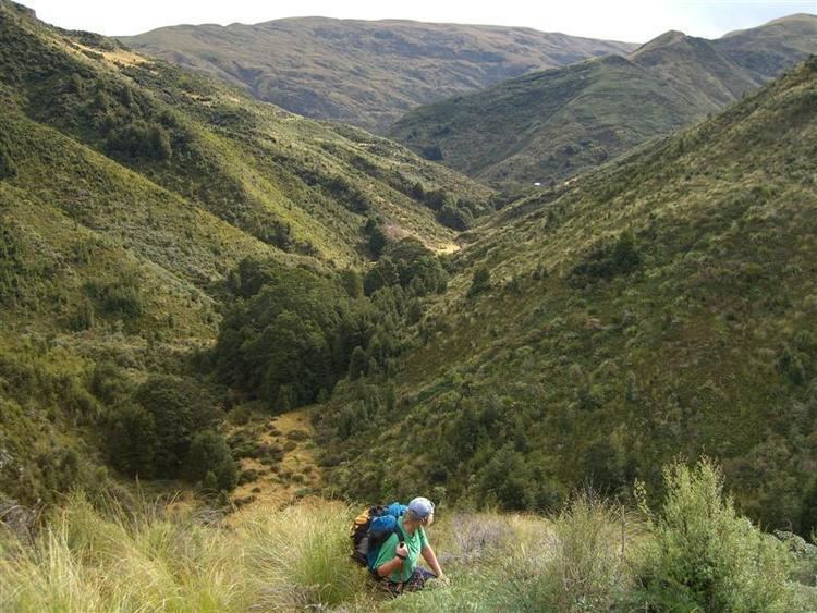
As the name suggests, the region is often snow-coated in winter, and the weather in the Silverpeaks is notoriously unpredictable. A network of walking tracks crisscross the area. From Pulpit Rock, trampers descend the Devil's Staircase into a lush valley just a short distance from Jubilee Hut. Access to these tracks is mainly via Double Hill Road, a rural road which leaves SH1 close to Waitati, and from several rural roads which leave SH87 between Outram and Middlemarch.
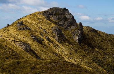
Several of the peaks rise to above 600 metres. The highest points in the Silverpeaks include Silver Peak (753 m), known in Māori as Huatea, Pulpit Rock (750 m), Mount Allen (705 m), Mount Misery (702 m). Several tributaries of the Taieri River have their sources on the slopes of the Silverpeaks to the west, as do several tributaries of the Waikouaiti River in the east.
Antimony was once mined near Hindon, the largest settlement in the area.