
Date established 1962 West Hillcrest North Ruakura Electoral ward Hamilton East | Population 2514 (2006 Census) South Riverlea, New Zealand Year established 1962 | |
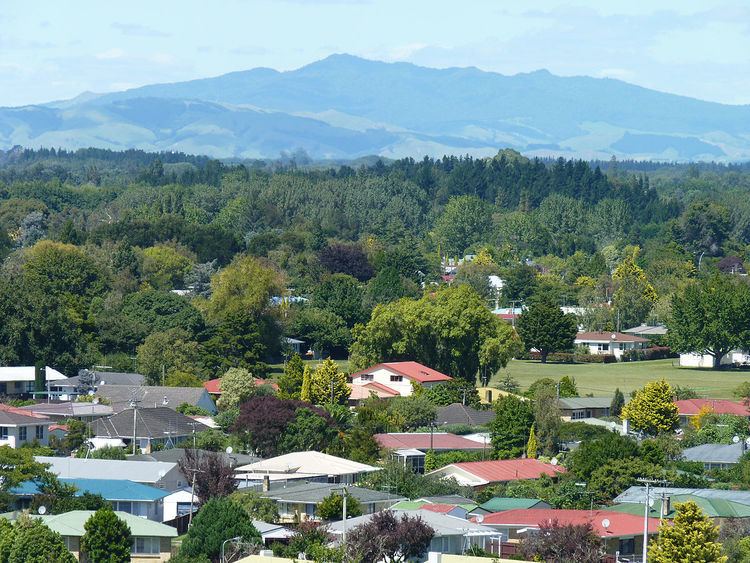 | ||
Silverdale is a suburb in south-eastern Hamilton in New Zealand.
Contents
- Map of Silverdale Hamilton 3216 New Zealand
- History
- Features of Silverdale
- Demographics
- Education
- References
Map of Silverdale, Hamilton 3216, New Zealand
History
It was named Silverdale after the original farm on the land, which itself was named after the shining silver poplar leaves.
Features of Silverdale
The suburb forms a large part of the University of Waikato's commercial, residential and educational hinterland. Jansen Park, located between Morrinsville Rd and Masters Ave, is the biggest park in the area and is used for club soccer during the winter sports season. The main suburban shopping centre is located on Silverdale Rd.
Demographics
According to the 2006 census, Silverdale has a population of 2514. The Index of Socioeconomic Deprivation, ranked 1-10 from lowest to most deprived areas, lists Silverdale at 8/10 (high deprivation). Many students live in the suburb due to its close proximity to the University of Waikato.