
Country New Zealand Population 2,070 (2006) | Local time Wednesday 1:44 PM | |
 | ||
District Rodney District (formerly) Weather 22°C, Wind SW at 21 km/h, 69% Humidity | ||
Silverdale is a village approximately 30 km north of Auckland in the North Island of New Zealand. It is located on the north bank of the Weiti River and lies to the west of the Whangaparaoa Peninsula. It was formerly called Wade (a corruption of Weiti) but renamed Silverdale in 1911 because of the many poplar trees in the area at the time and also because it is situated in a dale. State Highway 1 passes to the west of the village via the Northern Motorway. The former State Highway 1 runs south-west to north-east through the village and is now designated State Highway 17. This passes through Orewa and Waiwera before joining State Highway 1 at the termination of the motorway south of Puhoi.
Contents
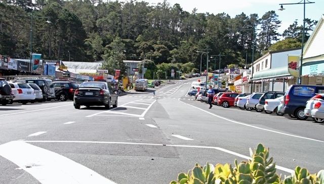
Map of Silverdale, New Zealand
The population of Silverdale and its surrounds was 2,070 in the 2006 Census, an increase of 459 from 2001.
Education
Silverdale School is a full primary (years 1-8) school with a decile rating of 9 and a roll of 166. The school was founded in 1869 and moved to its current site at the end of 2006.
Stella Maris Primary School is a state integrated full primary (years 1-8) school with a decile rating of 10 and a roll of 288. The Catholic school opened at the beginning of 2005.
Both schools are coeducational.