
Area 1,862 km² Population 34,523 (2013) Unemployment rate 3.8% (Apr 2015) | Congressional district At-large Website www.bsb.mt.gov Founded 1881 | |
 | ||
Colleges and Universities Montana Tech of the University, Highlands College, Butte Academy of Beauty | ||
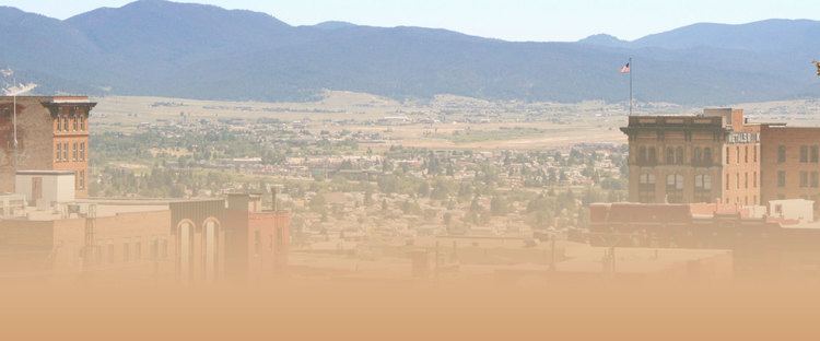
Silver Bow County is a county located in the State of Montana. As of the 2010 census, the population was 34,200. Its county seat is Butte. In 1977, the city and county governments consolidated to form the single entity of Butte-Silver Bow. Additionally, the town of Walkerville is a separate municipality from Butte and is located within the county.
Contents
- Map of Silver Bow County MT USA
- Geography
- Adjacent counties
- National protected areas
- 2000 census
- 2010 census
- Government and politics
- City
- Town
- Unincorporated communities
- References
Map of Silver Bow County, MT, USA
Silver Bow County comprises the Butte-Silver Bow, MT Micropolitan Statistical Area.
Geography
According to the U.S. Census Bureau, the county has a total area of 719 square miles (1,860 km2), of which 718 square miles (1,860 km2) is land and 0.6 square miles (1.6 km2) (0.08%) is water. It is the smallest county in Montana by area.
Adjacent counties
National protected areas
2000 census
As of the census of 2000, there were 34,606 people, 14,432 households, and 8,933 families residing in the county. The population density was 48 people per square mile (19/km²). There were 16,176 housing units at an average density of 22 per square mile (9/km²). The racial makeup of the county was 95.35% White, 0.16% Black or African American, 2.03% Native American, 0.43% Asian, 0.06% Pacific Islander, 0.59% from other races, and 1.37% from two or more races. 2.75% of the population were Hispanic or Latino of any race. 25.4% were of Irish, 14.2% German, 11.4% English and 5.9% Italian ancestry.
There were 14,432 households out of which 28.00% had children under the age of 18 living with them, 47.80% were married couples living together, 10.50% had a female householder with no husband present, and 38.10% were non-families. 32.80% of all households were made up of individuals and 13.70% had someone living alone who was 65 years of age or older. The average household size was 2.32 and the average family size was 2.97.
In the county, the population was spread out with 23.70% under the age of 18, 9.60% from 18 to 24, 26.70% from 25 to 44, 24.00% from 45 to 64, and 16.00% who were 65 years of age or older. The median age was 39 years. For every 100 females there were 97.80 males. For every 100 females age 18 and over, there were 96.30 males.
The median income for a household in the county was $30,402, and the median income for a family was $40,018. Males had a median income of $31,295 versus $21,610 for females. The per capita income for the county was $17,009. About 10.70% of families and 14.90% of the population were below the poverty line, including 19.20% of those under age 18 and 8.90% of those age 65 or over.
2010 census
As of the 2010 United States Census, there were 34,200 people, 14,932 households, and 8,651 families residing in the county. The population density was 47.6 inhabitants per square mile (18.4/km2). There were 16,717 housing units at an average density of 23.3 per square mile (9.0/km2). The racial makeup of the county was 94.4% white, 1.9% American Indian, 0.5% Asian, 0.3% black or African American, 0.1% Pacific islander, 0.7% from other races, and 2.1% from two or more races. Those of Hispanic or Latino origin made up 3.7% of the population. In terms of ancestry, 32.6% were Irish, 23.3% were German, 16.1% were English, 8.3% were Italian, 6.9% were Norwegian, and 3.2% were American.
Of the 14,932 households, 26.0% had children under the age of 18 living with them, 42.2% were married couples living together, 10.6% had a female householder with no husband present, 42.1% were non-families, and 35.1% of all households were made up of individuals. The average household size was 2.22 and the average family size was 2.87. The median age was 41.3 years.
The median income for a household in the county was $37,986 and the median income for a family was $52,288. Males had a median income of $41,491 versus $28,132 for females. The per capita income for the county was $21,357. About 11.6% of families and 17.8% of the population were below the poverty line, including 23.1% of those under age 18 and 8.9% of those age 65 or over.
Government and politics
It and neighboring Deer Lodge County are the two most consistently Democratic counties in Montana when it comes to Presidential elections, with Silver Bow County last voting Republican in 1956 for Dwight D. Eisenhower. The two have supported the Democratic candidate in each of the last fourteen Presidential elections. In the last six elections, the margin of victory for the Democrat has varied from 14% to 41% of the vote.
Over the last century, Silver Bow County has voted only once for a Republican gubernatorial candidate (Marc Racicot during the 1996 Montana election) and Democrats have carried the county in every other elections for governorship. Silver Bow County has not supported any Republican at all for the US Senate since at least 1928.
In the Montana Senate it is in District 37 and has been represented by Democrat Steve Gallus since 2004. In the Montana Montana House of Representatives it is in District 73 and is represented by Democrat Pat Noonan.