OS grid reference SP246106 Dialling code 01993 | Sovereign state United Kingdom Postcode district OX18 | |
 | ||
Signet is a hamlet on the A361 road just over 1 mile (1.6 km) south of Burford in Oxfordshire, England.
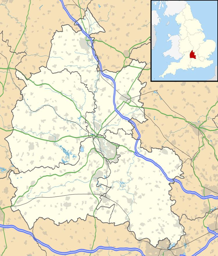
Map of Signet, Burford, UK
Until 1954 Signet was part of the civil parish of Upton and Signet, which was absorbed into Burford to create the civil parish of Burford and Upton and Signet. The parish had a population of 437 in the 1951 census, the last before the parish was absorbed.
References
Signet, Oxfordshire Wikipedia(Text) CC BY-SA
