
Time zone PST (UTC−8) Area code(s) 360 Local time Tuesday 5:00 AM | ZIP code 98649 Elevation 211 m | |
 | ||
Weather 8°C, Wind E at 8 km/h, 97% Humidity | ||
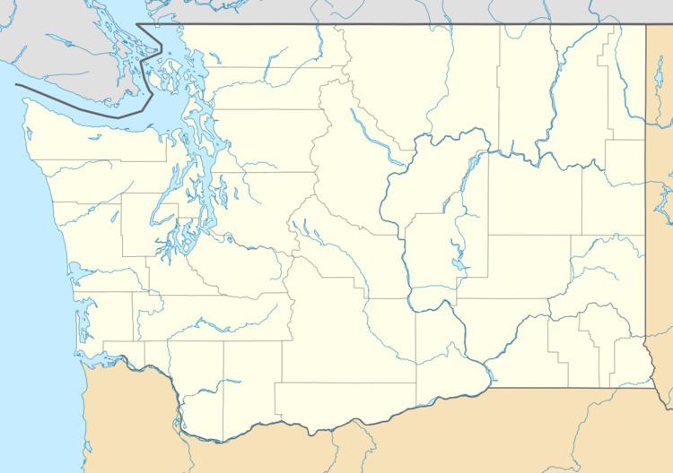
Sightly is an unincorporated community in Cowlitz County, Washington. Sightly is located east of the city of Castle Rock and east of Silver Lake. Sightly is reached by taking exit 49 off of Interstate 5, traveling 10.4 miles (16.7 km) east along Washington State Route 504, which is also known as the Spirit Lake Memorial Highway, and then traveling 2.4 miles (3.9 km) along Sightly Road. The Sightly community was given its name due to its views of Mount St. Helens. The Sightly community is part of the Toutle Lake School District, a K-12 school district of about 600 students.
Contents
Map of Sightly, WA 98649, USA
Sightly is located 25.7 miles (41.4 km) northwest of Mount St. Helens. The eruption of Mount St. Helens on May 18, 1980, was the deadliest and most economically destructive volcanic event in the history of the United States.
Geography
Sightly is located at 46°17′59″N 122°42′30″W (46.2998338, -122.7084437).