
Elevation 152 m Local time Tuesday 7:49 AM | ||
 | ||
Weather 9°C, Wind S at 0 km/h, 93% Humidity | ||
Sierra de los Padres is a string of rocky hills and ridges about 14 miles west of Mar del Plata. They are part of the Tandilia's mountain range, actually a series of low hills extended from the central Buenos Aires Province to Cabo Corrientes, a cape on the shores of Mar del Plata. These peaks are barely 270 mt (900 feet) high, surrounded by farms in the lower lands and by an exclusive neighborhood built on their slopes. Most local landscapes have panoramic views of surrounding hills. Recreational activities include trekking, PPC, and a large Golf link. There is an annual trekking and climbing event organized by the "Club Andino Mar del Plata", with more that 300 climbers attending each October.
Map of Sierra de los Padres, Buenos Aires Province, Argentina
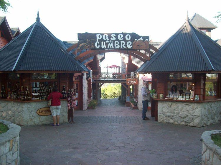
Along the main access road there is also a Zoo. The neighbourhood has four shopping centers and many facilities for visitors. A large super market and many groceries fill local residents' need of food and beverages. The winters are a bit colder than in the coastal area and summers are not so mild. Permanent residents as of 2010 were about 4,300. Most of them are members of the upper and upper-middle class. For the children of the village and nearby residents are one elementary and one middle public schools. Tap water supplies come from a cooperative, the Cooperativa Sierra de Los Padres. The area became a special destination for those seeking meditation and relax.