 | ||
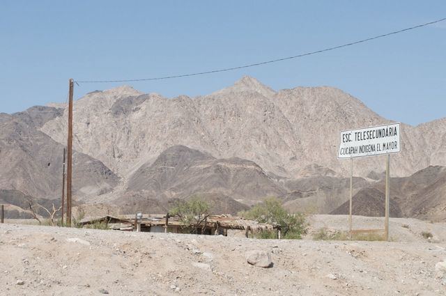
Sierra de Los Cucapah is a mountain range in Baja California state, Northwestern Mexico. It is located south of Mexicali.
Map of Sierra de Los Cucapahs, Baja California, Mexico
The Sierra de los Cucapah are north-south trending mountains of the Peninsular Ranges between the Laguna Salada basin to the west and the Cerro Prieto Volcano and Cerro Prieto Geothermal Power Station to the east.
The geothermal field is 40 kilometres (25 mi) south of Mexicali.
References
Sierra de Los Cucapah Wikipedia(Text) CC BY-SA
