
Country Philippines Barangays ZIP code 8503 Province Agusan del Sur | Region Caraga (Region XIII) Time zone PST (UTC+8) Area 567.8 km² Local time Tuesday 6:11 AM | |
 | ||
District 1st district of Agusan del Sur Weather 23°C, Wind N at 0 km/h, 91% Humidity | ||
Isang parte ng maharlika highway sa brgy agfa sibagat agusan del sur gumuho kaninang umaga
Sibagat, officially the Municipality of Sibagat (Cebuano: Lungsod sa Sibagat; Filipino: Bayan ng Sibagat), is a municipality in the province of Agusan del Sur in the Caraga (Region XIII) of the Philippines. The population was 30,442 at the 2015 census. In the 2016 electoral roll, it had 18,027 registered voters. Located in the northeastern tip of the province, the town is 29 kilometres (18 mi) away from Butuan City.
Contents
- Isang parte ng maharlika highway sa brgy agfa sibagat agusan del sur gumuho kaninang umaga
- Map of Sibagat Agusan del Sur Philippines
- Our way to lingig surigao del sur from mahayahay sibagat agusan del sur aug 28 2010 5 00 pm
- Etymology
- History
- Geography
- Climate
- Barangays
- Demographics
- Economy
- Transportation
- Attractions
- Festivals
- Local government
- Educational institutions
- Notable people
- References
Map of Sibagat, Agusan del Sur, Philippines
The town is a major producer of agriculture products such as coconut, banana, vegetables and especially abaca in the province.
Our way to lingig surigao del sur from mahayahay sibagat agusan del sur aug 28 2010 5 00 pm
Etymology
The word Sibagat is from the word bagat which means "meet" or "meeting place". According to the oral history, the Sibagat River near Sibagat was the place where the warring tribes meet and fight. Sibagat River is tributary of a bigger river, the Wawa river. The losing tribe would retreat downstream to the Wawa River and disappear.
History
The territories of Sibagat were formerly part of the town of Esperanza, in the historical province of Agusan. In August 1961, through Executive Order No. 440, s. 1961, the barrios and sitios of Bayugan, Maygatasan, Nueva Sibagat, Verdo, Mambutay, Salvacion, Caridad, Sagmone, Calaitan, Sinadyap, Malindao, Noli and other adjacent barrios and sitios were separated from Esperanza and constituted into the newly created municipality of Bayugan. On February 1, 1980, Sibagat was created into a municipality when the barangays of Ilihan, Sinai, Sibagat, El Rio, Afga, Tabontabon, Perez, Magsaysay, Santa Cruz, Santa Maria, San Isidro, Villangit, Del Rosario, Anahauan, Mahayahay and San Vicente were segregated from the municipality of Bayugan and organized into the newly created ton, through Batas Pambansa Blg. 56. The seat of Municipal Local Government is located in Barangay Sibagat, now called Barangay Poblacion. On November 6, 1980, the first set of Municipal Officials assumed office and Mr. Vicente B. Benigian, Sr. was the first appointed Municipal Mayor.
Geography
Sibagat is located at 8°49′N 125°41′E.
According to the Philippine Statistics Authority, the municipality has a land area of 567.82 square kilometres (219.24 sq mi) constituting 7000568000000000000♠5.68% of the 9,989.52-square-kilometre- (3,856.98 sq mi) total area of Agusan del Sur.
Sibagat is bordered by the province of Surigao del Sur to the north and northeast; Bayugan to the east, southeast, south and southwest; Butuan City and Las Nieves, Agusan del Norte to the west; and Cabadbaran, Santiago, and Remedios T. Romualdez, Agusan del Norte to the northwest.
Sibagat is 29 kilometres (18 mi) away from the Regional Center Hub of Caraga region and 34 kilometres (21 mi)from the nearest airport in Butuan City. It is also 14 kilometres (8.7 mi) away from Bayugan, the only city of the province. The town is geographically situated between the two cities of Butuan and Bayugan.
Climate
Sibagat has a Type II climate which has no dry season but with pronounced maximum rain period occurring from December to January.
Barangays
Sibagat is politically subdivided into 24 barangays.
Demographics
In the 2015 census, Sibagat had a population of 30,442. The population density was 54 inhabitants per square kilometre (140/sq mi).
Most of the inhabitants are Visayan migrants from Bohol, Cebu, Leyte and Negros provinces. Indigenous people include the Manobo and Higaonon.
In the 2016 electoral roll, it had 18,027 registered voters.
Economy
The economy of Sibagat is dependent heavily on subsistence agriculture. Its major agricultural products are coconut, corn, coffee, cacao, fruits, vegetables, and root crops.
It also plays a major role in Abacá Industry in Agusan del Sur as well as the entire Caraga Region.
Transportation
Its primary mode of transportation are PUB's, PUJs and Passenger Vans plying the routes from Butuan to Bayugan and vice versa via the Pan-Philippine (Maharlika) Highway connecting Agusan and Davao provinces.
In town, Tricycles and Motorized tricycles convey passengers to short distance destination within the town and to other accessible adjacent barangays. Motorcycle taxi, locally known as Habal-habal, is a single motorcycle modified to seat more than two persons that caters passengers to barangays with rough and steep terrain. In Sibagat, the more complex Habal-habal can seat up to twelve persons or more including their baggages.
Attractions
Festivals
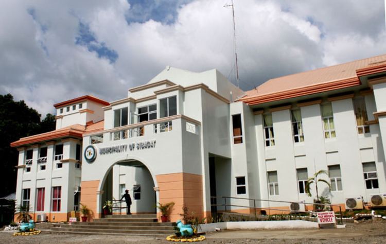
Local government
Elected municipal officials 2016-2019:
Educational institutions
There are Six (6) high schools in the town.