
Country United States Area code(s) 919 Elevation 88 m | Time zone Eastern (EST) (UTC-5) FIPS code 61740 Local time Sunday 2:58 AM | |
 | ||
Weather 11°C, Wind N at 5 km/h, 68% Humidity | ||
Shotwell is an unincorporated community in rural eastern Wake County, North Carolina, United States, located about 4 miles (6.4 km) south of Knightdale and 11 miles (18 km) east of Raleigh at the confluence of Smithfield, Mial Plantation, Major Slade, Grasshopper, and Turnipseed Roads. Shotwell has been inhabited since the early 19th century and is home to a number of historic structures. A post office was established in 1883 but closed less than two decades later.
Map of Shotwell, Marks Creek, NC 27610, USA
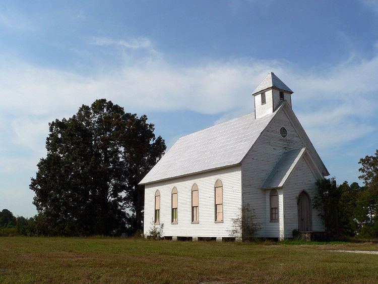
Oaky Grove was listed on the National Register of Historic Places in 1993.
References
Shotwell, North Carolina Wikipedia(Text) CC BY-SA