 | ||
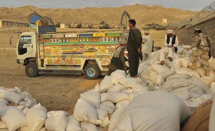
Shorabak District is a remote district situated in the southeastern part of Kandahar Province, Afghanistan, 110 km south and east of Kandahar. It borders Reg District to the west, Spin Boldak District to the north and Pakistan to the east and south. The population is 10,200 (2006). The district center Shorabak is located on 30.1833°N 66.1000°E / 30.1833; 66.1000 at 985 m altitude in the Eastern part of the district. Baloch and Pashtun are dominant ethnicities.
Map of Shorabak, Afghanistan
The district is currently controlled by the Taliban, and took the district over on February 21, 2017.
References
Shorabak District Wikipedia(Text) CC BY-SA
