
 | ||
Bumpy paragliding flight shomali plain near kabul afghanistan
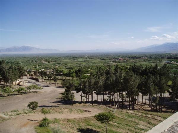
The Shomali Plain, also called the Shomali Valley, is a plateau north of Kabul, Afghanistan. It is approximately 30 km wide and 80 km long. Once, it was an extremely fertile area, but it became a desert, considered by the UN Mine Action Center as one of the world's most active land mine areas. It is one of the relatively few prospering areas of Afghanistan. The A76 highway is militarily necessary, and has been rebuilt and security is in place, although the same urgency does not exist elsewhere in the country.
From Kabul, the road runs to Charikar and Bagram Airfield in Parwan Province, and then into the Hindu Kush mountains to the Salang Tunnel. The tunnel provides the only year-round, all-weather access to the north of Afghanistan.
When the Taliban retreated from it in 1997, they poisoned wells, cut down trees, and destroyed the irrigation system of what was a largely Tajik area. In the 2001 Afghan War, the Northern Alliance was directed to take the Plain after it secured the supply routes from the north, and wait for an international peacekeeping force to move into Kabul. They did not wait, however, because the Taliban retreated from Kabul without a fight, leaving a security vacuum, and consequently the Northern Alliance occupied Kabul without major problems.
By 2004, the United Nations High Commissioner for Refugees had put in 300 water points and resettled 14,000 families.