
Native name 雫石川 Basin size 168 km (65 sq mi) Basin area 168 km² | River mouth Kitakami River Length 33 km Source Shizukuishi | |
 | ||
Main source Shizukuishi, Iwate900 m (3,000 ft) | ||
The Shizukuishi River (雫石川, Shizukuishigawa) is a river in Iwate Prefecture, Japan.
Map of Shizukuishi River, Omyojin, Shizukuishi, Iwate District, Iwate Prefecture, Japan
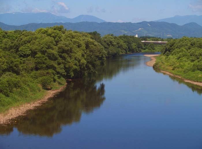
The Shizukuishi River rises in the Ōu Mountains just south of Mt. Akita Komagatake in Shizukuishi and empties into the Kitakami River in Morioka. The Gosho Dam is situated on the Shizukuishi River, in western Morioka. This dam was completed in 1981. The entire length of the river is home to many renowned hot springs.
The Kakkonda River is its largest tributary and flows from north to south in Shizukuishi. Its headwaters are also in the Ōu Mountains but to the north of Akita Komagatake and to the west of Mt. Iwate. It is 33.2 kilometers in length.
References
Shizukuishi River Wikipedia(Text) CC BY-SA