
Length 126 km Basin area 1,640 km² | Discharge 72.56 m³/s Mouth elevation 0 | |
 | ||
- location Rankoshi, Hokkaidō, Japan - average 72.56 m/s (2,562 cu ft/s) Mouth Sea of Japan (also known as East Sea) | ||
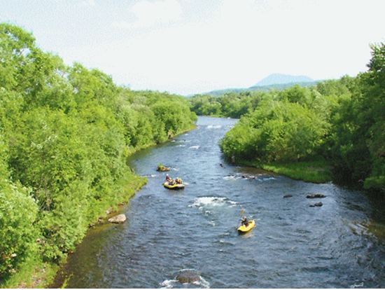
Shiribetsu River (尻別川, Shiribetsu-gawa) is a river in Hokkaidō, Japan.
Map of Shiribetsu-gawa, Japan
References
Shiribetsu River Wikipedia(Text) CC BY-SA