
PIN 415603 Elevation 75 m Area code 02355 | Time zone IST (UTC+5:30) Telephone code 02355 Local time Sunday 1:57 AM | |
 | ||
Weather 27°C, Wind W at 2 km/h, 79% Humidity | ||
Shirgaon is a village in the Ratnagiri district of the state of Maharashtra, India.
Contents
Map of Shirgaon, Maharashtra
Location
Shirgaon is in the Chiplun taluka, with the town of Chiplun, 13 km away, being the nearest urban area. Shirgaon is located on the Guhagar Bijapur Highway, SH 71.
Shirgaon is divided in three parts, consisting of Varachi wadi (upper section), Khalachi wadi (lower section) and Bajarpeth (market).
The area around Shirgaon is fed by two rivers.
Religion
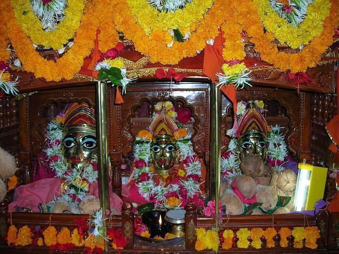
Locals honour the goddesses Mahakali, Sukhai and Varadayini, with the main temple located in Kumbharli. Also the Gramdevat temple is situated in Shirgaon Varchi Vadi. Shirgaon also has two Hanuman temples and one Lord Dattatraya temple.
Shirgaon also celebrates Ganesh Utsav and Shimaga Utsav. There also is a Chabina celebration in Varchi and Khalachi wadi on different dates.
Education
The Shirgaon High School serves Shirgaon and the surrounding area.