
Population 503 (2011 census) Civil parish Shiptonthorpe Post town York | OS grid reference SE852433 Local time Saturday 7:42 PM Dialling code 01430 | |
 | ||
Unitary authority Weather 12°C, Wind W at 11 km/h, 74% Humidity | ||
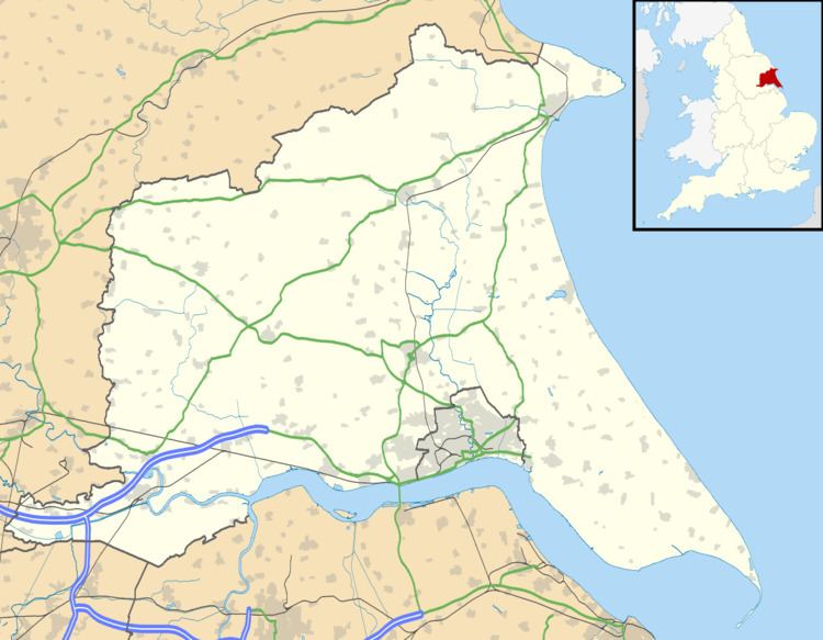
Shiptonthorpe is a village and civil parish in the East Riding of Yorkshire, England. It is situated approximately 5 miles (8 km) south-east of the market town of Pocklington and 2 miles (3.2 km) north-west of the market town of Market Weighton.
Map of Shiptonthorpe, York, UK
According to the 2011 UK census, Shiptonthorpe parish had a population of 503, an increase on the 2001 UK census figure of 419.
In Shiptonthorpe there are two pubs, (one currently closed) a petrol station, two Churches, a shop, and a Renault main dealer. The parish church of All Saints is a Grade I listed building. On the outskiirts of the village there is a garden centre called Langlands, and a McDonald's (formerly a Little Chef) which opened in 2014.
The A1079 road runs through part of the village. Plans for a bypass of the village were put forward in the 1989 Roads for Prosperity white paper but were subsequently dropped.
Shiptonthorpe was served by Londesborough railway station on the York to Beverley Line between 1847 and 1965.