
- Tree Momi Fir Phone number 0233-22-2111 Population 36,481 (Oct 2016) Local time Sunday 1:55 AM | Area 223.1 km² | |
 | ||
Weather 0°C, Wind SE at 6 km/h, 96% Humidity Points of interest Mogami Park, Shinjō Castle, Mogami Central Park, Mt Kamuro, Higashiyama Park | ||
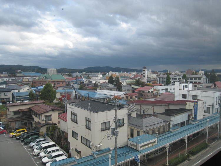
Shinjō (新庄市, Shinjō-shi) is a city in Yamagata Prefecture, Japan.
Contents
- Map of Shinjo Yamagata Prefecture Japan
- Geography
- Neighboring municipalities
- Climate
- History
- Economy
- Rail
- Highways
- Shinj Matsuri
- Notable people from Shinj
- References
Map of Shinjo, Yamagata Prefecture, Japan
As of October 2016, the city had an estimated population of 36,481 and a population density of 160 persons per km². The total area was 223.08 km².
Geography
Shinjō is located in a mountain basin in north-central Yamagata Prefecture. The Mogami River runs through the city.
Neighboring municipalities
Climate
Shinjō has a humid continental climate (Köppen climate classification Dfa) with very warm summers and cool winters. Precipitation is plentiful throughout the year, although the months from February to June have somewhat less rainfall.
History
During the Edo period, the area of present-day Shinjō was part of Shinjō Domain, a 65,000 koku feudal domain under the Tokugawa shogunate controlled by the Tozawa clan, who ruled from 1622-1871. The domain was centered on Shinjō Castle, but the castle and most of the surrounding castle town was destroyed during the Battle of Shinjō during the Boshin War of the Meiji restoration.
After the start of the Meiji period, the area organized as Shinjō Town under Mogami District, Yamagata Prefecture in 1878. The town prospered as a transportation hub with four railway lines, and as a center for horse ranches providing mounts for the Imperial Japanese Army cavalry regiments. The town largely escaped damage during World War II, save for a lone air raid, which killed six people. Shinjō became a city on April 1, 1946. It annexed the neighboring villages of Hagino on April 1, 1955 and Yamuki on September 30, 1956.
Economy
The economy of Shinjō is based on light manufacturing, agriculture and wood products.
Rail
Highways
Shinjō Matsuri
One of the premier festivals of Yamagata Prefecture, Shinjō Matsuri (or Shinjō Festival) is a summer-time celebration held annually from August 24–26. Held since 1755, the festival was established by the local daimyō (feudal lord) to lift the spirits of the common people after a particularly bad harvest. The current incarnation of the festival includes traditional dancing, a reenactment of the first "Daimyō Parade", traditional festival vending stalls, and the Yattai Parade, in which each neighborhood in the city constructs large, vivid scenes from Japanese/local history, folklore, and/or fairy tales on wide floats. These are then pulled throughout the city by children both at day and at night for the three days of the festival. A traditional hayashi band of taiko drums, cymbals, shamisen, and Japanese flute follow behind. The hands, feet, and faces of the figures on the floats are based on traditional Noh design. The floats are judged and the three winners displayed in Shinjō Station, and the Shinjō History Center. The rest are dismantled.