
Population 2,656 (2001 census) Area 62 ha Dialling code 01324 | OS grid reference NS899769 Sovereign state United Kingdom Local time Saturday 12:59 PM | |
 | ||
Weather 12°C, Wind SW at 11 km/h, 74% Humidity | ||
Shieldhill is a village within the Falkirk council area in Central Scotland. The village is 2.0 miles (3.2 km) south-east of Falkirk, 2.4 miles (3.9 km) south-west of Polmont and 0.5 miles (0.8 km) north of the village of California.
Contents
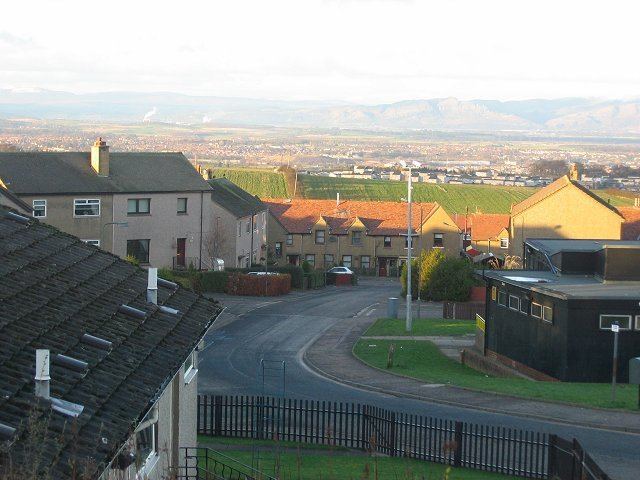
Map of Shieldhill, Falkirk, UK
Shieldhill is divided into a few main parts: " The California end" and the old " scheme end " to the west, and the newer Bovis and the original old miners rows which have existed in some way for approximately 150 years. The main road through Shieldhill is the B8028 road between California and Glen Village and the B810 road from Reddingmuirhead. At the time of the 2001 census, Shieldhill had a population of 2,656 residents.
Amenities
There are three corner shops, a bar, the batter inn and the spicy cottage takeaway as well as a Post Office in Shieldhill. There is also a wedding centre nearby, The Three Kings. Shieldhill is also close to a new Tesco supermarket which is located 1 mile (1.6 km) away in neighbouring Reddingmuirhead.
The village of Shieldhill has one primary school, Shieldhill Primary School.
Governance
The village forms part of the Falkirk constituency for UK general elections and part of the Falkirk East constituency in Scottish Parliament elections.