
Country United States ZIP code 37376 Elevation 204 m Local time Saturday 4:55 AM | Time zone Central (CST) (UTC-6) Area code(s) 931 Population 558 (Jul 2007) | |
 | ||
Weather 9°C, Wind NW at 10 km/h, 94% Humidity | ||
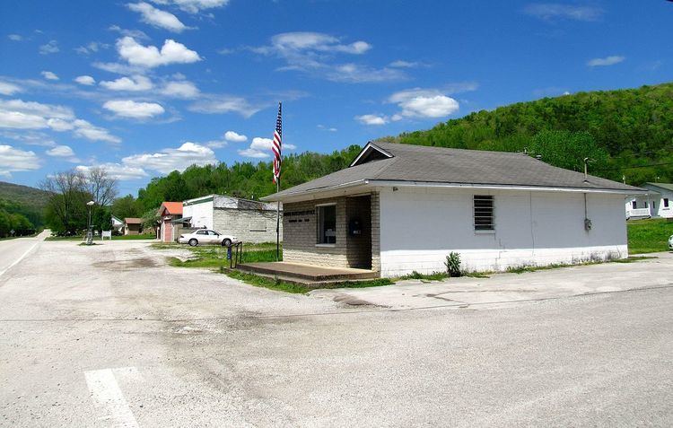
Sherwood is an unincorporated community in Franklin County, Tennessee, United States. It is located along Tennessee State Route 56 13.1 miles (21.1 km) southeast of Winchester, and just north of the Alabama state line. Sherwood has a post office with ZIP code 37376.
Contents
Map of Sherwood, TN 37376, USA
History
Sherwood is located near the northern end of the Crow Creek Valley. A small community called Kitchen's Station or Catchings Station had existed earlier at that location. Named for station master Meridith Catchings, the small community began appearing on railroad maps after the Civil War. The town of Sherwood was named for Charles D. Sherwood, lieutenant governor of Minnesota during the Civil War. The Tennessee State Legislature approved his charter for the Tennessee Immigration and Land Company on April 15, 1878. That same day, Sherwood purchased the 1,410 acres of land for his northern colony from John F. Anderson. On June 19, 1878 a local paper announced that the name of Kitchen's [Catching's] Station would be changed to Sherwood. A number of sources have erroneously reported that Charles Sherwood was lieutenant governor of Wisconsin and that the town was established in 1875. This information probably came from the Goodspeed History Tennessee: Giles, Franklin, Lincoln, and Moore Counties.
The Gager Lime Manufacturing Company was established by Byron Gager in 1892 and operated a limestone quarry and lime kilns in the community. The lime production facilities operated until 1949.
In 1915, a passenger train and a freight train collided in Sherwood, killing fifteen and injuring twenty-two.
As of the 1930 census, Sherwood had 1,700 residents, but the community's population declined to 900 in the 1950s as its economy stalled after the closing of the limestone plant. In 1956, Epiphany Mission, the town's Episcopal Church, helped train a group of women and opened a shirt factory in Sherwood in an attempt to create local jobs.
The castle-like ruins of the lime production facilities and silos, which are unusual for their Egyptian Revival and Gothic Revival styling, remain in the community. The Tennessee Preservation Trust included them on its Ten in Tennessee Endangered Properties List for 2002–2003, citing their architectural distinctiveness and expressing concern that a "continued lack of maintenance" threatened their survival.
Geography
The Crow Creek Valley, in which Sherwood is situated, is a relatively narrow valley surrounded on three sides (north, east, and west) by the Cumberland Plateau (including Lost Cove), with the southern end of the valley opening toward Alabama. Crow Creek, which flows from Lost Cove Cave, drains the valley and flows through the western part of Sherwood, emptying into the Tennessee River at Guntersville Lake near Stevenson, Alabama, several miles to the south. Sherwood lies at an elevation of 669 feet (204 m).
State Route 56, the only major highway that passes through Sherwood, traverses the valley from north-to-south. To the north, the road ascends more than 1,000 feet (300 m) to Sewanee atop the Cumberland Plateau. To the south, the road continues into Alabama as State Route 117, eventually reaching Stevenson. Railroad tracks run alongside the highway for much of its stretch in the valley.
Threatened snail species
The painted snake-coiled forest snail is only found in the Sherwood area. The snail was first found in the area in 1906 and was designated as a threatened species in 1978.