
 | ||
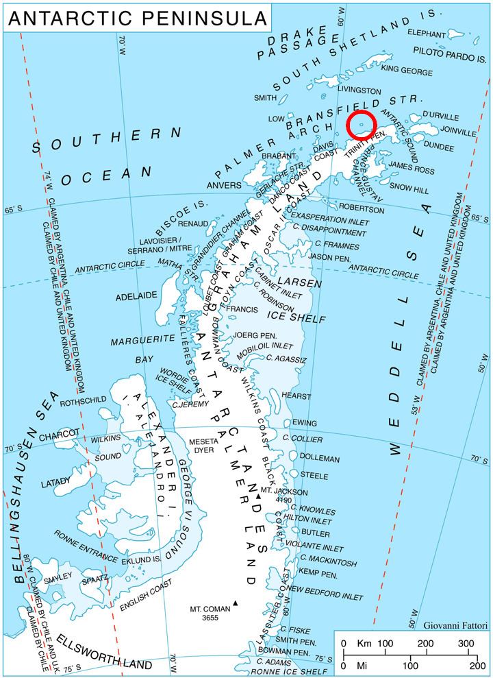
Sherrell Point (63°18′S 58°41′W) is a point at the south end of Astrolabe Island, off Trinity Peninsula in Antarctica. It is situated 1.15 km southeast of Gega Point, 4.5 km southeast of Raduil Point and 2.28 km southwest of Rogach Peak. Following air photography and ground survey by FIDASE, 1956-57, the feature was named for Frederick W. Sherrell, surveyor and geologist in this area with FIDASE, 1955-56.
Maps
References
Sherrell Point Wikipedia(Text) CC BY-SA