
Airport type Public Elevation AMSL 745 ft / 227 m 4,006 1,221 Code SWI Phone +1 903-891-4035 | Owner City of Sherman 16/34 4,006 1,221 Asphalt Elevation 227 m Serves Sherman | |
 | ||
Address 1200 S Dewey Ave, Sherman, TX 75090, USA Similar North Texas Regional, Grayson County Courthou, TAPS Public Transit, Sherman Municipal Ballroom | ||
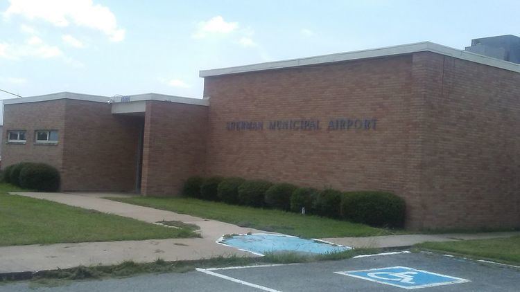
Sherman Municipal Airport (ICAO: KSWI, FAA LID: SWI) is a city owned, public use airport located one nautical mile (1.85 km) southeast of the central business district of Sherman, a city in Grayson County, Texas, United States.
Although many U.S. airports use the same three-letter location identifier for the FAA and IATA, this airport is assigned SWI by the FAA and no designation from the IATA.
Facilities and aircraft
Sherman Municipal Airport covers an area of 144 acres (58 ha) at an elevation of 745 feet (227 m) above mean sea level. It has one runway designated 16/34 with an asphalt surface measuring 4,006 by 75 feet (1,221 x 23 m).
For the 12-month period ending April 30, 2007, the airport had 13,800 general aviation aircraft operations, an average of 37 per day. At that time there were 19 aircraft based at this airport: 95% single-engine and 5% multi-engine.