
Country United States Elevation 256 m Local time Saturday 3:21 AM | GNIS feature ID 0469476 Area 173.7 km² Population 249 (2000) | |
 | ||
Weather 8°C, Wind NE at 16 km/h, 87% Humidity | ||
Sheridan Township is a township in Cherokee County, Kansas, United States. As of the 2000 census, its population was 249.
Contents
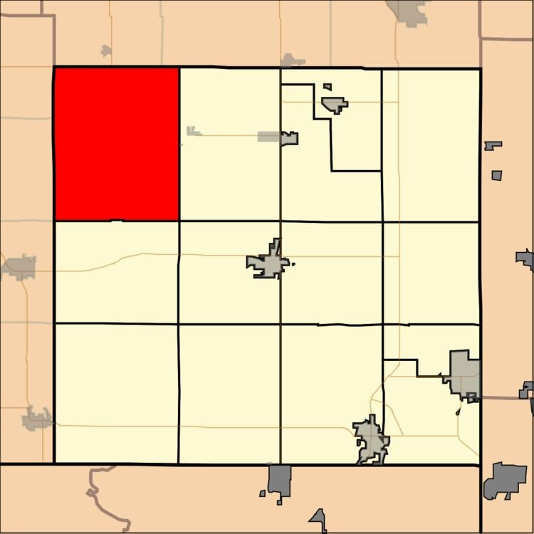
Map of Sheridan, KS, USA
Geography
Sheridan Township covers an area of 67.07 square miles (173.7 km2) and contains no incorporated settlements.
According to the United States Geological Survey (USGS), it contains eight cemeteries: Bowen, Friendship, Harley, LaRue, McKee, Rigney, Sherman, Star.
The streams of Little Cherry Creek, Mulberry Creek, Plum Creek and Stink Branch all run through the township.
References
Sheridan Township, Cherokee County, Kansas Wikipedia(Text) CC BY-SA