
Country United States GNIS feature ID 0468691 Area 90.18 km² Local time Saturday 3:21 AM | FIPS code 19-93840 Elevation 372 m Population 461 (2000) | |
 | ||
Weather 2°C, Wind NE at 10 km/h, 100% Humidity | ||
Sheridan Township is one of eighteen townships in Carroll County, Iowa, USA. As of the 2000 census, its population was 461.
Contents
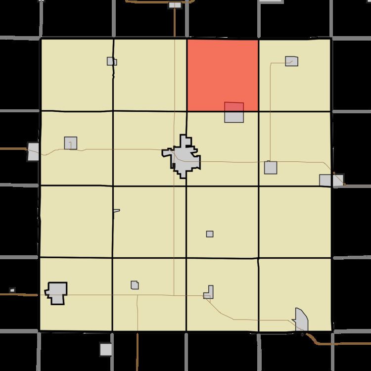
Map of Sheridan, IA, USA
Geography
Sheridan Township covers an area of 34.82 square miles (90.2 km2) and contains one incorporated settlement, Lidderdale. According to the USGS, it contains two cemeteries: East Liberty and Immanuel.
References
Sheridan Township, Carroll County, Iowa Wikipedia(Text) CC BY-SA